Categories Posted inin GISGIS Programming Remote Sensing Applications: Built-up AssessmentPosted byby Samuel Gachuhi0 Comments13 min 13 min Share It is a no-brainer why a majority of remote sensing applications are focused on land surfaces. Built-up area assessment is a key factor Continue Reading 13 min
Categories Posted inin GISGIS Programming Best Advice For a GIS DeveloperPosted byby Wanjohi Kibui2 Comments5 min 5 min Share In most cases, a GIS developer also plays the role of a GIS analyst; analyzing spatial data from all breadths. Continue Reading 5 min
Categories Posted inin GIS Software 5 Popular GIS Software Solutions to UsePosted byby Wanjohi Kibui0 Comments4 min 4 min Share In this article, we will introduce you to some of the top GIS software options available and provide an overview of their features Continue Reading 4 min
Categories Posted inin GISTutorials Create a web map in R using Leaflet JSPosted byby Samuel Gachuhi1 Comment18 min 18 min Share Today, we will create a web map of Kenyan wards showcasing dummy electoral results. To also demonstrate a few functionalities. Continue Reading 18 min
Categories Posted inin GISGIS Software Which is the best free mapping software? (Online)Posted byby Wanjohi Kibui0 Comments4 min 4 min Share In this post, we explore the best free mapping software (online) in the market today. Find out which one is the best one for you! Continue Reading 4 min
Categories Posted inin GeoInformation GIS and Sustainable Development GoalsPosted byby Risper Mutinda0 Comments4 min 4 min Share In September 2015, the General Assembly adopted the 2030 Agenda for Sustainable Development which includes 17 Sustainable Development... Continue Reading 4 min
Categories Posted inin GISGIS Software What are the Benefits of Using a Shapefile?Posted byby Wanjohi Kibui1 Comment2 min 2 min Share A Shapefile is an essential component for anyone who works with geographic data. This article will explain what... Continue Reading 2 min
Categories Posted inin GISRemote Sensing Using the Normalized Difference Moisture IndexPosted byby Samuel Gachuhi0 Comments11 min 11 min Share One of the easiest methods of agricultural remote sensing is the use of the Normalized Difference Moisture Index... Continue Reading 11 min
Categories Posted inin GIS News GIS News: Free Geospatial Software for NonprofitsPosted byby 0 Comments3 min 3 min Share Esri Puts Audubon’s Migratory Bird Initiative on the Map Esri is the global leader in Geospatial software and... Continue Reading 3 min
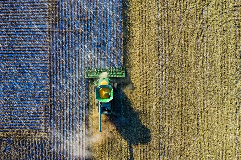
Categories Posted inin GISUAVs The Sudden Rise of Precision AgriculturePosted byby Wanjohi Kibui0 Comments3 min 3 min Share Precision Agriculture (PA) is the science of improving crop yields and supporting management decisions using high-tech sensors and... Continue Reading 3 min
Categories Posted inin Remote Sensing Forest cover assessment using GEEPosted byby Samuel Gachuhi0 Comments12 min 12 min Share In the recently released KFS report of 2021 – the National Forest Resources Assessment Report 2021 – Kenya... Continue Reading 12 min
Categories Posted inin GIS News GIS NEWS THIS WEEK-ALL YOU NEED TO KNOWPosted byby 0 Comments2 min 2 min Share Esri Renews NTIS Partnership Supporting White House Priorities with Access to Geographic Data The Biden administration has prioritized... Continue Reading 2 min