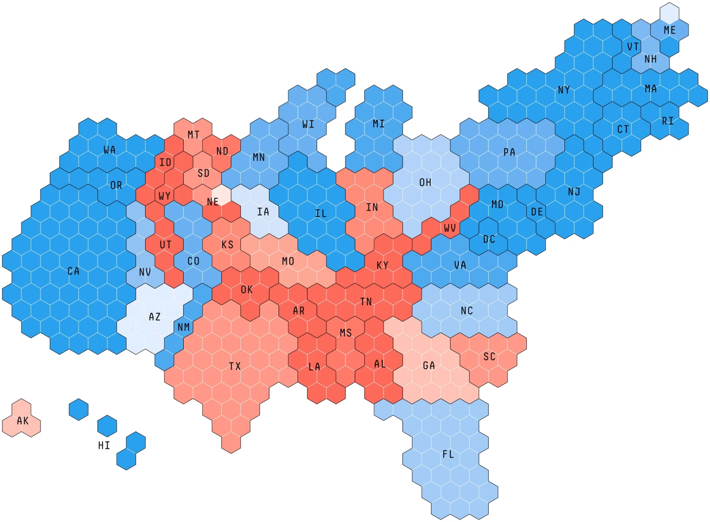
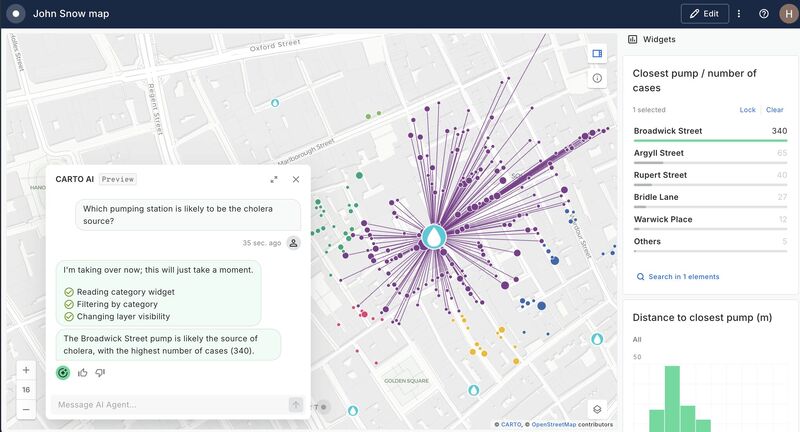
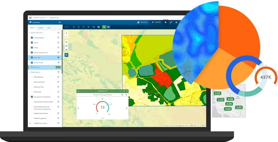
GIS NEWS THIS WEEK-ALL YOU NEED TO KNOW
FEELING STUCK IN YOUR GIS CAREER
7 MAJOR WAYS GEOSPATIAL TECHNOLOGY IS IMPACTING THE HUMANITARIAN SECTOR
Landsat 8 in Land Surface Temperature Estimations
A GIS and Remote Sensing Appproach: Food Security
Calculating area changes of Lake Baringo using NDWI
GIS Applications: Forest Mapping in Kenya
Post-Fire Hazard Detection (ALOS-2 & Landsat-8)
Ensemble Methods in Machine learning
Latest GIS News This Week
Latest GIS News – What You Need To Know This Week
Latest GIS News-What You Need To Know This Week
Geospatial Technologies: Stephen Mwai
Virtual Layers in QGIS
Rule-Based Symbology & Labeling in QGIS
An Introduction to TensorFlow and Keras
Visualization Parameters in GEE Explorer