New Course!
Introduction to GIS with QGIS
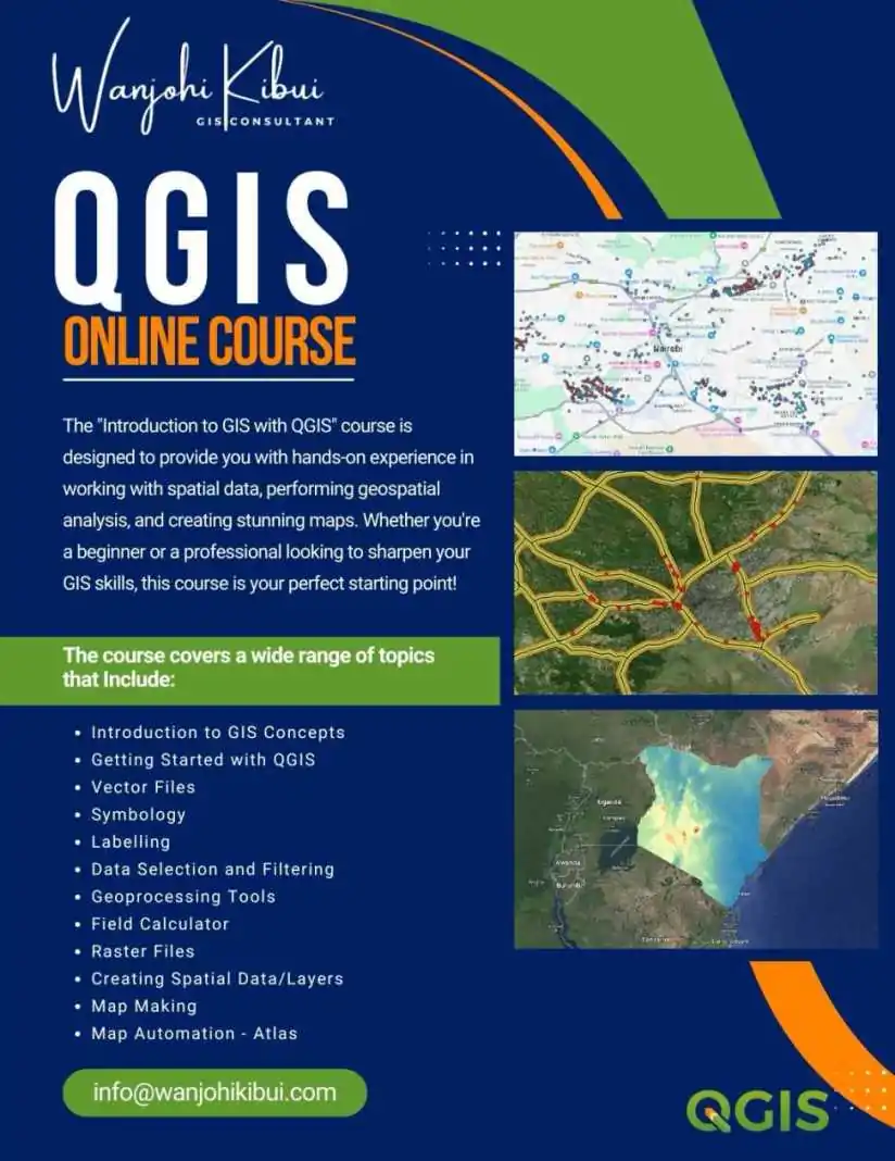
Geographic Information Systems (GIS) are transforming the way we analyze and visualize spatial data. This course, “Introduction to GIS with QGIS,” is designed for beginners and professionals who want to build a strong foundation in GIS using QGIS, an open-source and powerful GIS software.
By the end of this course, you will understand GIS concepts, data types, spatial analysis, and cartographic visualization, and you will be able to apply these skills in real-world scenarios.
What You Will Learn
- Fundamentals of GIS and spatial data types
- Understanding coordinate reference systems and projections
- Working with vector and raster data
- Loading and managing spatial data in QGIS
- Symbology and visualization techniques
- Using attribute tables and performing spatial queries
- Applying geoprocessing tools for spatial analysis
- Map design, labeling, and exporting high-quality maps
- Creating an automated Atlas for multi-page mapping
Who Should Take This Course?
This course is designed for:
- Beginners looking to start their journey in GIS
- Professionals who need GIS skills for their work in environmental science, urban planning, agriculture, or business
- Researchers and students who want to analyze and visualize geospatial data
- Anyone interested in open-source GIS tools and mapping techniques
Why Enroll in This Course?
- Hands-On Learning – Engage in real-world projects and practical exercises
- No Prior Experience Needed – Learn from the ground up with step-by-step guidance
- Open-Source Software – Gain skills using QGIS, a cost-effective alternative to proprietary GIS software
- Industry-Relevant Skills – Learn practical applications that are useful in multiple sectors
- Certificate of Completion – Validate your skills with a recognized certificate
Course Curriculum
Module 1: Introduction to GIS
- What is GIS?
- Applications of GIS in various industries
- Understanding spatial and attribute data
Module 2: Introduction to QGIS
- Overview of the QGIS interface
- Installing and setting up QGIS
- Exploring available tools and plugins
Module 3: Working with Spatial Data
- Vector vs. raster data
- Loading and managing spatial layers
- Coordinate Reference Systems (CRS)
Module 4: Data Visualization & Symbology
- Applying symbology: single symbol, categorized, graduated, and rule-based
- Customizing labels and styles
- Working with attribute tables
Module 5: Spatial Analysis & Geoprocessing
- Selecting and querying data
- Buffering, clipping, and merging datasets
- Geoprocessing tools for spatial analysis
Module 6: Map Design & Exporting
- Designing professional maps
- Adding scale bars, legends, and north arrows
- Exporting maps in different formats
Module 7: Automation with Atlas
- Creating a multi-page map series
- Automating layouts for large-scale projects
- Exporting Atlas maps efficiently
Course Format
- Mode: Self-paced online learning
- Assignments & Quizzes: Reinforce learning through hands-on exercises
- Support: Community forum and instructor feedback
What You Need to Get Started
- A computer
- Basic computer skills (no prior GIS experience required)
- A willingness to explore and apply spatial data concepts
Certificate of Completion
Upon finishing the course, you will receive a certificate of completion, which can be added to your resume or LinkedIn profile to showcase your GIS expertise.
Enroll Today
Take the first step into the world of GIS and spatial data analysis. Secure your spot and start learning today!