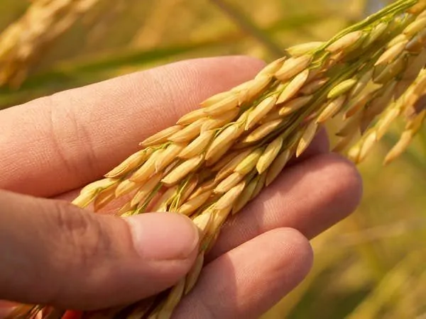
Precision Agriculture (PA) is the science of improving crop yields and supporting management decisions using high-tech sensors and analysis tools. PA is a new concept adopted throughout the world to increase production, reduce labour time, and ensure the effective management of fertilizers and irrigation processes.
According to the International Society for Precision Agriculture, Precision Agriculture is a management strategy that gathers, processes, and analyzes temporal, spatial, and individual data and combines it with other information to support management decisions according to estimated variability for improved resource use efficiency, productivity, quality, profitability, and sustainability of agricultural production.
HISTORICAL BACKGROUND
The agricultural revolution has experienced three waves thus far. The first wave was the increase of mechanized agriculture, from 1900 to 1930. The 1960s prompted the Green Revolution wave with new methods of genetic modification, new forms of agricultural fertilizer, and hybrid seeding.
Precision agriculture is often referred to as the third agricultural technological wave. This is where earth imagery, geospatial technology, the internet of things, drones, sensors, and mobile data collection have all come into play in advancing digital farming.
According to David Mulla and Raj Khosla, Pierre Robert is often regarded as the father of precision farming because of his active promotion of the idea and organization of the first workshop, “Soil Specific Crop Management,” during the mid-1990s. In 1982, Robert defended his PhD dissertation under the direction of Richard Rust in the University of Minnesota’s Department of Soil Science. The dissertation was titled “Evaluation of Some Remote Sensing Techniques for Soil and Crop Management”.
In 1994, a company called John Deere’s Precision Farming Group, based in Illinois, initially founded in the 1800s by agricultural engineer John Deere, started to explore a new concept in farming known as precision agriculture.
David Mulla and Raj Khosla state that several different Intelligent Devices and Implement (IDI) components were developed in the 1990s and 2000s, most notably the Yield Monitor, or on-the-go nitrogen tester. These concepts were data collectors without a method of spatially recognising the data. With these tools, early agricultural innovators started to put together the concepts of spatially locating various field conditions and characteristics to analyze sustainable decisions, which is now precision farming.
PRECISION AGRICULTURE AND SATELLITE IMAGERY
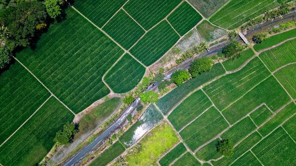
Over the past 20 years, international organisations, policymakers, researchers, and agricultural organisations have turned to satellite imagery to further understand farming and its effects on the land. These include potential drought, post-harvest, land terrain, crop production and yield, target nutrition, risk management, pest control, and soil erosion.
Today, remote sensing and satellite imagery data are being used around the globe by the agricultural industry to make decisions, understand changes and estimate future conditions. Just like forecasting commodity price data, researchers and industry professionals are using this spatial data. The data is used to forecast changes in conditions under different management strategies, climate scenarios, and market pressures.
THE BENEFITS OF PRECISION AGRICULTURE
1. Better decision-making: One of these important decisions involves targeted nutrition for better crop harvest. Imagery and sensors can help identify areas or specific crops that lack crucial nutrition or fertiliser input.
2. Cost estimation: You can budget for fertiliser and other necessary nutrients. This is very important as you will know exactly what the farm needs and when it is needed.
3. Improved record keeping: Through satellite imagery capture, this can improve record keeping and management. It will go a long way in measuring progress by comparing imagery captured at different times.
4. Risk management: PA can prevent future crop failure by proper monitoring and predicting an unforeseen climate disaster. Such disasters include unforgiving terrain, soil erosion, potential drought and farming on a land reserve.
5. Potential for better returns: With all this in play, one is most certainly going to get good returns. Farmers can rip big if they use PA effectively.
CHALLENGES INVOLVING PRECISION AGRICULTURE
1. It is expensive – Acquiring precision agriculture data is very expensive. It requires hiring someone with geospatial technical skills to utilize the sometimes complex data. One can seek help from an established organisation, which will be more costly.
2. Ground truthing is still required – Ground truthing is the process of confirming whether the information you receive from a satellite is true or false. Sometimes the human eye is needed to detect something that satellite technology cannot.
3. It might not be for you – If you are not interested in dealing with the complications that come with technology, particularly if you are elderly, PA may not be for you.PA will demand a lot of adaptability and technicality.
The Future of Precision Agriculture
AI and precision agriculture are constantly being improved and provide new intelligent tools for managing agricultural production. Image-based pattern recognition systems allow applications to adjust the watering and nutrition of plants according to their type. For example, sprayers equipped with AI can recognize specific weeds and spray them without affecting the crops being grown.
Conclusion
Precision agriculture will be a major part of the 4th industrial revolution. The revolution has already begun and is being embraced by most sectors of society. I foresee agriculture undergoing some major changes in the near future. Only time will tell how big it will get.


The Sudden Rise of Precision Agriculture