When I first got into geospatial web app development, I thought the biggest hurdle would just be getting a map onto the screen.
Simple, right?
But the deeper I went, the more I realised something critical:
Building a map is easy. Building a good, fast and scalable map app is a whole different ballgame.
Over the years, after countless prototypes, real-world deployments and late-night server crashes, one truth became clear:
Geospatial web app development is all about making smart trade-offs.
Today, let me walk you through the key trade-offs you need to understand, with real stories from the field.
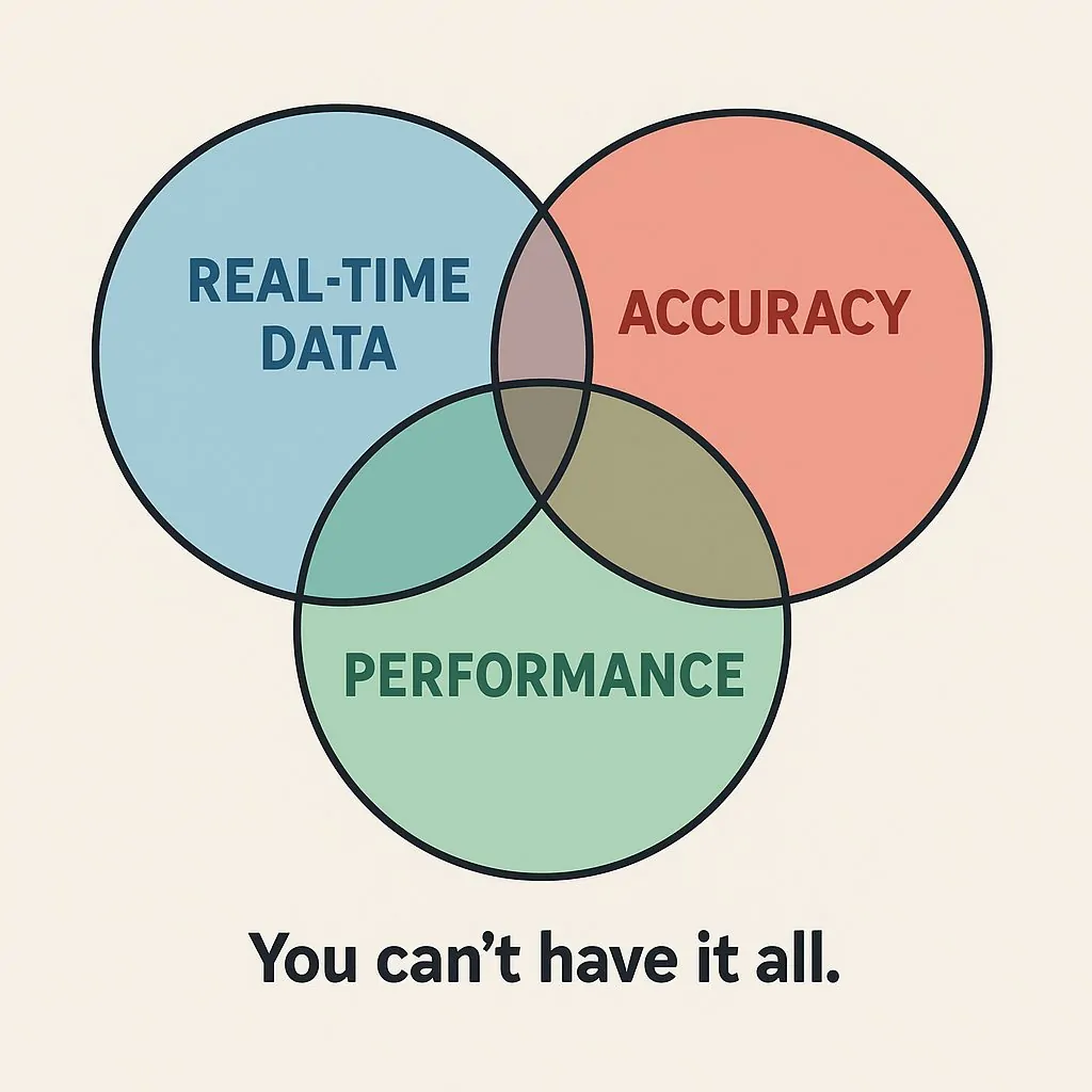
1. Real-time data, accuracy and performance: You can’t have it all
One of our early geospatial web apps tracked logistics fleets in real-time, updating every two seconds.
It was magical until more than 30 vehicles showed up.
Then browsers froze, servers choked and users abandoned ship.
The trade-off was clear:
- Real-time updates strain bandwidth and CPU.
- High GPS accuracy inflates data payloads.
- Smooth user experience takes a hit.
The Solution:
We batched updates, throttled data flow and applied simplification algorithms.
Result? Lightning-fast apps and users who didn’t even notice the tiny delay.
I bet no one even cared about the 2-second update. A 20-second delay was still okay.
2. Client-side vs Server-side processing
In early versions of another geospatial platform, we loaded massive shapefiles straight into the browser.
Bad idea.
Browsers froze. Mobile users bailed.
An app might be accessible, but its interactiveness becomes a problem.
In geospatial web app development, client-side processing is fine for tiny datasets.
For serious maps, server-side pre-processing is a must:
- Pre-tile large datasets.
- Serve only what’s visible.
- Compress payloads.
Trade-off? Control vs Performance.
3. Tiles vs Vectors: Flexibility has a price
One client demanded dynamic theming; different modes, themes and high-contrast maps for accessibility.
If you have worked with raster files or services such as WMS, you know their pros and cons.
Raster tiles were fast but inflexible.
Vector tiles offered styling freedom but hit performance harder. Try loading 100,000 points on a leaflet map as Geojson.
Solution?
You can adopt a hybrid approach.
- Raster baselayers for speed.
- Vector overlays for dynamic content.
Trade-off? Choose between fixed speed and styling flexibility. But you can architect both.
4. Precision vs size: Are 10,000 points necessary?
In a project mapping sub-county boundaries, we had absurdly high-resolution geometry; every river curve, every road corner, hills and slopes.
Maps took minutes to load.
Reality check: Users never zoomed close enough to appreciate the extra 15,000 vertices.
Solution?
Geometry simplification. We shrank file sizes by 80% without any noticeable visual loss.
Lesson for geospatial web app development?
Precision is beautiful, but optimized simplicity wins on the web.
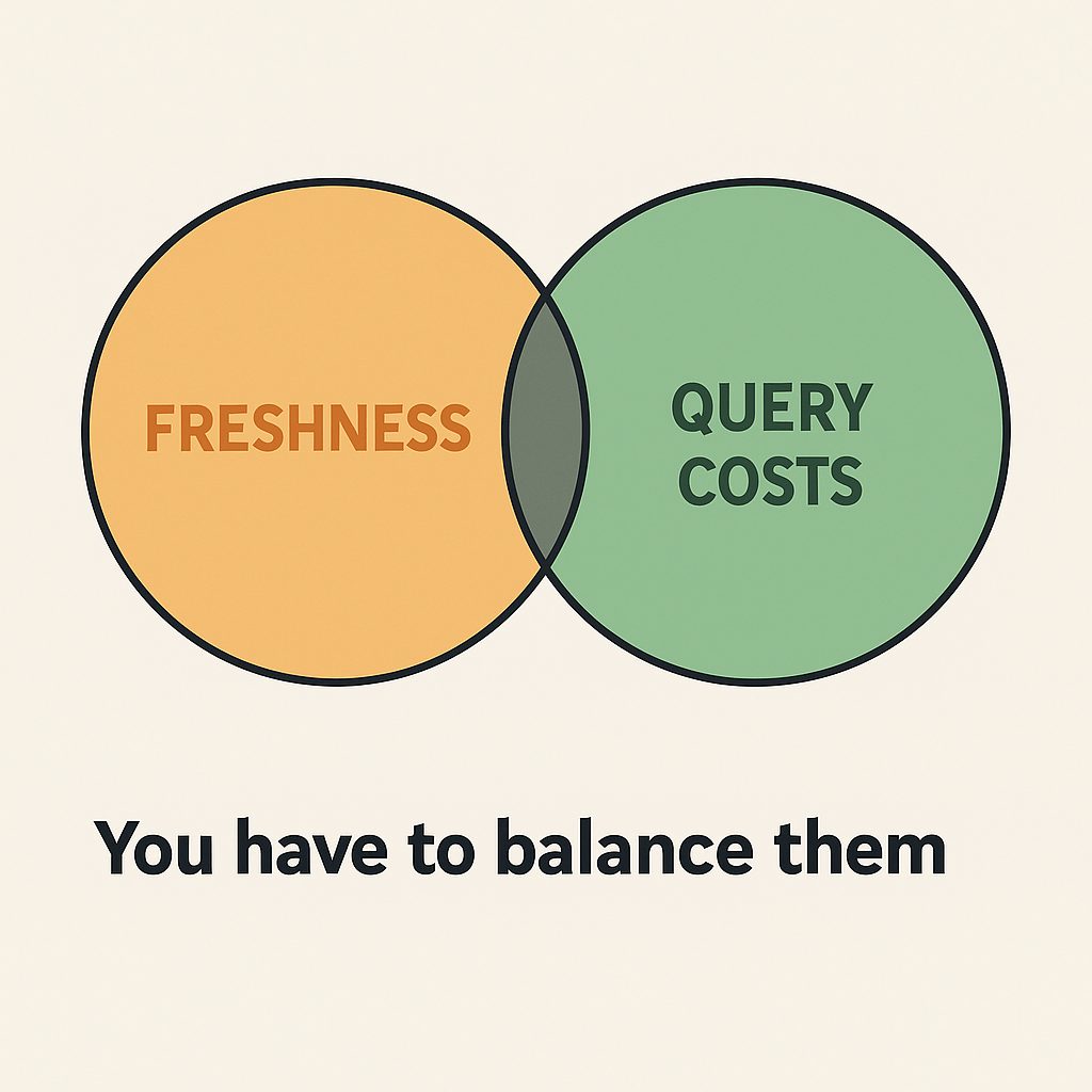
5. Freshness vs Query Costs
We had this amazing survey app for a client in Kenya. The app enabled live data transmission to a server (third-party hosting).
Live survey updates seemed like a dream.
Until our API bill arrived.
Every second polling for changes crushed both costs and performance.
Solution?
- Websockets for essential events.
- Timed polling for low-priority updates.
- Aggressive caching for heavy queries.
Trade-off? In geospatial systems, real-time must be earned not assumed.
6. Interactivity vs Complexity
Map users love popups, clustering, drawing tools, layer filters and zooming in and out.
But every new feature introduces more code, more state management and more bugs.
Before adding anything, ask:
- Does it directly improve the user’s workflow?
- Is there a simpler alternative?
Trade-off?
More interactivity ≠ Better UX
Sometimes a lean, focused map beats a Swiss army knife.
7. Projections: Simplicity over purity
Want to mess up your geospatial web app development?
Here’s what you can do.
Start handling dozens of projections in the frontend.
99% of web apps work best with Web Mercator (EPSG:3857).
Unless you’re calculating true areas (like farming, forestry, or construction), avoid fancy projections.
Trade-off? Mathematical purity vs Global compatibility.
8. Offline support: The hidden mountain
Offline-first apps (for fieldwork, remote exploration, disaster zones) are a special breed:
- Massive offline data storage needs.
- Sync conflicts and retries.
- Device storage limits.
Offline adds serious engineering and UX complexity.
If you’re tackling offline capabilities in geospatial web app development, plan for a second app inside the first one.
Well, my advice.
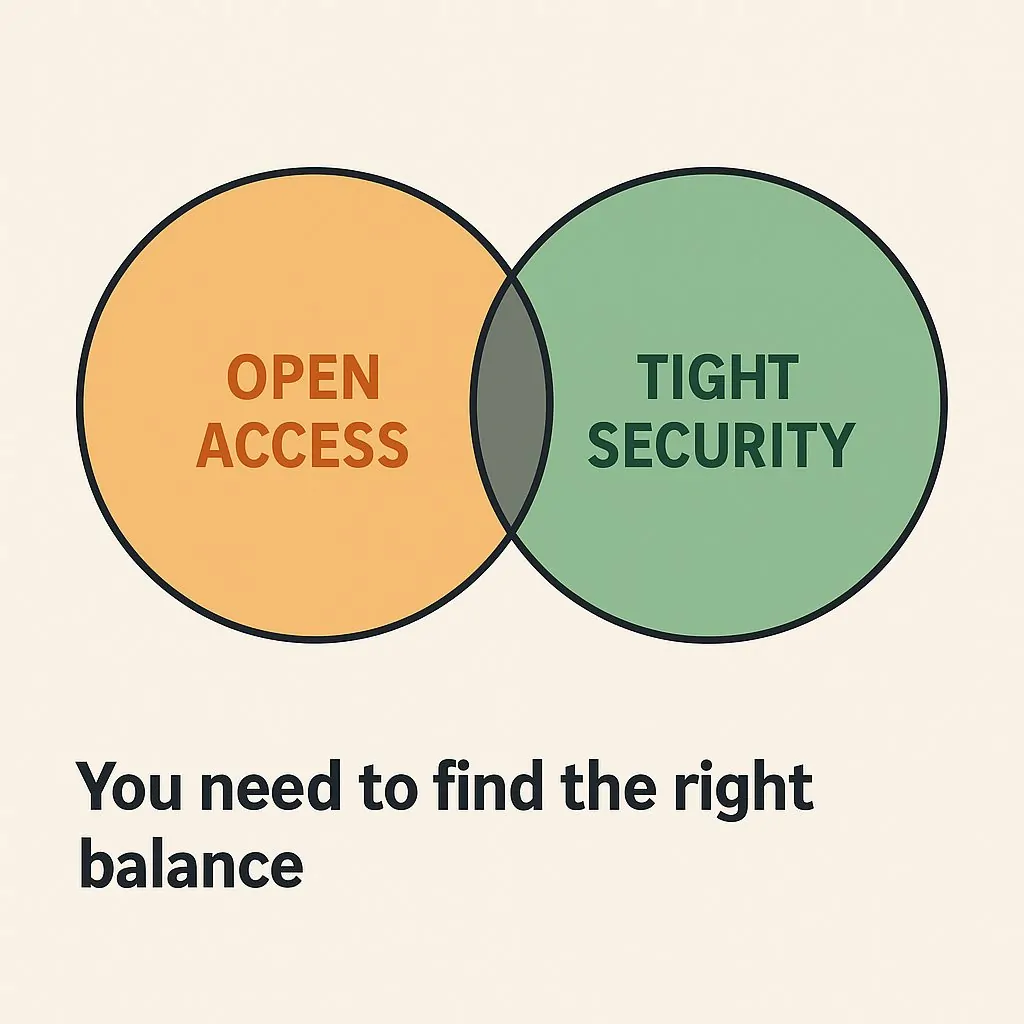
9. Open access vs tight security
Everyone loves open data.
But in critical industries such as energy, defense and finance, maps contain sensitive locations.
Wide-open APIs can become huge vulnerabilities.
Trade-off?
Openness inspires innovation, but security always comes first.
10. Customization vs Maintainability
Clients will ask for;
- Custom basemaps
- Custom markers
- Custom legends.
Custom looks amazing… until updates, maintenance and costs pile up.
Sometimes, sticking with defaults saves months of headaches.
Trade-off?
Short-term delight vs Long-term sustainability.
At the heart of geospatial web app development lies one truth:
You can build anything — but you can’t build everything, perfectly.
Smart developers constantly ask:
- What trade-offs make sense for this project?
- What are we optimizing for: speed, flexibility, accuracy, or cost?
- What does the user need, not just what sounds cool?
If you’re always thinking about intentional compromise, you’re already on your way to becoming a true geospatial architect.
Have you faced tough trade-offs building your geospatial apps?
Share your story. I’d love to hear how you tackled it!
Leave a comment, or hit me up on X profile


Why Building Geospatial Web Apps is a Game of Trade-offs