Before I talk about GIS! It was in 2010 when I received my KCSE results for the 2009 exam. Having passed the exam, I was to join campus a year later. Born and raised in the countryside, the dream of visiting and living in Nairobi was so real but seemed huge
Data loaded in Leaflet as a layer can be filtered on the fly to create separate layers that...
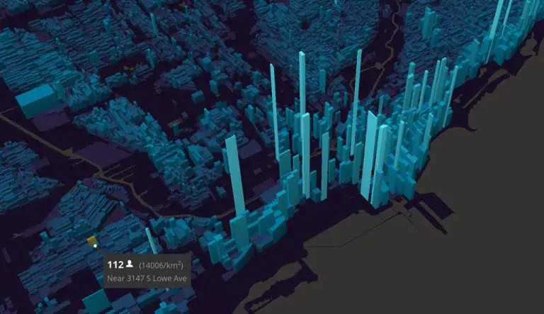
We like maps and will continue to like them more. Every day, there are changes in the libraries used for mapping. With most maps being 2D, exploring 3D maps is so much fun and better
Hello guys, some time ago I did a sample webmapping application in GeoExt, ExtJS, OpenLayers and GeoJSON to...
GeoDjango is a Django module used for developing GIS web applications. Django is a Python framework for web...
PostGIS is an open source spatial database that can be used with QGIS, a free and open-source geographic...
It’s quite some time since I talked about Web-GIS development on this blog. In the last year, I...
The completion of the major routes and highways such as the Thika Superhighway in February 2012 has seen...
In the last few years, QGIS has really grown in a huge collection of tools, algorithms tackling various...
Today, I take a look at the Python Libraries useful when dealing with Geospatial Data. The most popular...
QGIS is an open-source geographic information system (GIS) software that is used for viewing, editing, and analyzing geospatial...
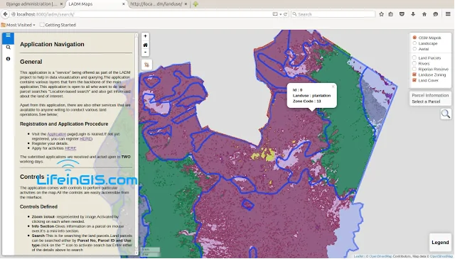
The Land Administration Domain Model (LADM) is the prevailing ISO standard on land administration and management. Through the use of this model, liaison with the NLC and other stakeholders


