Categories Posted inin GISGIS Programming How to display Leaflet maps using Vue JS FrameworkPosted byby Risper Mutinda0 Comments2 min 2 min Share The development of web applications is becoming more and more complex yet requirements for the user interface to... Continue Reading 2 min
Categories Posted inin GISTutorials Shapefile conditionals in GeoPandas & NumpyPosted byby Wanjohi Kibui0 Comments2 min 2 min Share While most shapefiles acquired from various sources are fairly ready to use with little or no edits, other... Continue Reading 2 min
Categories Posted inin GeodatabaseGIS Programming Most popular frameworks for back-end WebGIS DevelopmentPosted byby Risper Mutinda0 Comments3 min 3 min Share A lot goes on in the backend of a WebGIS application. In the backend, most of the manipulation... Continue Reading 3 min
Categories Posted inin GISTutorials Importing vector and raster data in the GEEPosted byby 0 Comments1 min 1 min Share Vector and raster data formats are used in the analysis in the Google Earth Engine. Vector data can... Continue Reading 1 min
Categories Posted inin GeoInformationGIS Programming Most Popular Libraries for Front-end Web-GIS DevelopmentPosted byby Risper Mutinda0 Comments2 min 2 min Share The onset of the World Wide Web has revolutionized everything around us and GIS is not an exception.... Continue Reading 2 min
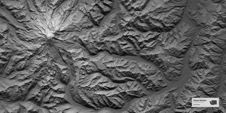
Categories Posted inin GISTutorials Plotting a Digital Elevation Model profile in GEEPosted byby Risper Mutinda0 Comments2 min 2 min Share A digital elevation model is a representation of the bare ground topographic surface of the earth exclusive of... Continue Reading 2 min
Categories Posted inin Tutorials Cloud masking on GEE using Landsat 8Posted byby Risper Mutinda0 Comments2 min 2 min Share Cloud masking on GEE using Landsat 8 involves the identification and removal of cloud-contaminated pixels from satellite imagery.... Continue Reading 2 min
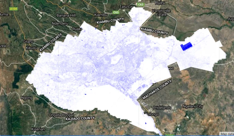
Categories Posted inin GISTutorials Computing NDBI in Google Earth EnginePosted byby Risper Mutinda1 Comment2 min 2 min Share What is NDBI? Normalized Difference Built-up Index (NDBI) is a spectral index used to analyze built-up areas. This... Continue Reading 2 min
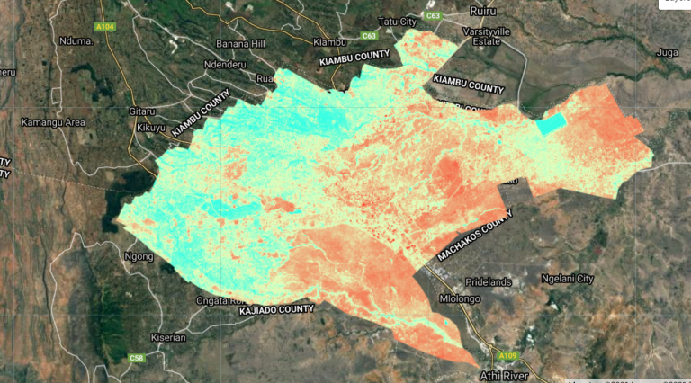
Categories Posted inin GISTutorials Computing MNDWI using Sentinel on GEEPosted byby Risper Mutinda1 Comment2 min 2 min Share What is MNDWI? Modified Normalized Difference Water Index (MNDWI) is a spectral index used to analyze water bodies... Continue Reading 2 min
Categories Posted inin GISTutorials Feature Joins in Google Earth EnginePosted byby Risper Mutinda0 Comments2 min 2 min Share Joins are used to combine elements from different collections (e.g. Image Collection or Feature Collection) based on a... Continue Reading 2 min
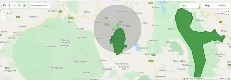
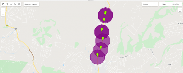
Categories Posted inin GISTutorials Computing buffers in Google Earth Engine.Posted byby Risper Mutinda0 Comments1 min 1 min Share Google Earth Engine supports a wide variety of geometric operations. These include operations on individual geometries such as... Continue Reading 1 min
Categories Posted inin Tutorials Preview image collection using time-seriesPosted byby Risper Mutinda0 Comments1 min 1 min Share This article focuses on how to prepare and preview image collection, provides example code for collection visualization method,... Continue Reading 1 min