SpatiaLite Database for Community Mapping

All Geospatial projects contain an element of data collection, storage and preparation. This is a vital stage in...
urban Planning

Urban Planning Information System

On a weekday at 7:30 am, the traffic snarl starts a few kilometres from the town. With that...

GIS Analyst To GIS Data Scientist – 8 Things You Should Know

Are you a GIS analyst wondering how to become a GIS data scientist, but you do not know where to start? Well, you are not alone, as the geospatial industry is going through a major disruption. Here is why.
Create a web map

Create a web map in R using Leaflet JS

Today, we will create a web map of Kenyan wards showcasing dummy electoral results. To also demonstrate a few functionalities.
Color-Blind-Maps

Color Blind Maps in QGIS

Color blind maps are maps that are designed to be legible for people with color vision deficiencies. These...

Burn severity mapping using Imagery

Burn severity refers to the effects that fire intensity has on the functioning of an ecosystem in the...

GIS Week – Geospatial Awareness

As GIS enthusiasts, we all know that it’s one of the most exciting times of the year, the...
GIS development platform

Choosing the Right GIS Development Platform for Your Needs

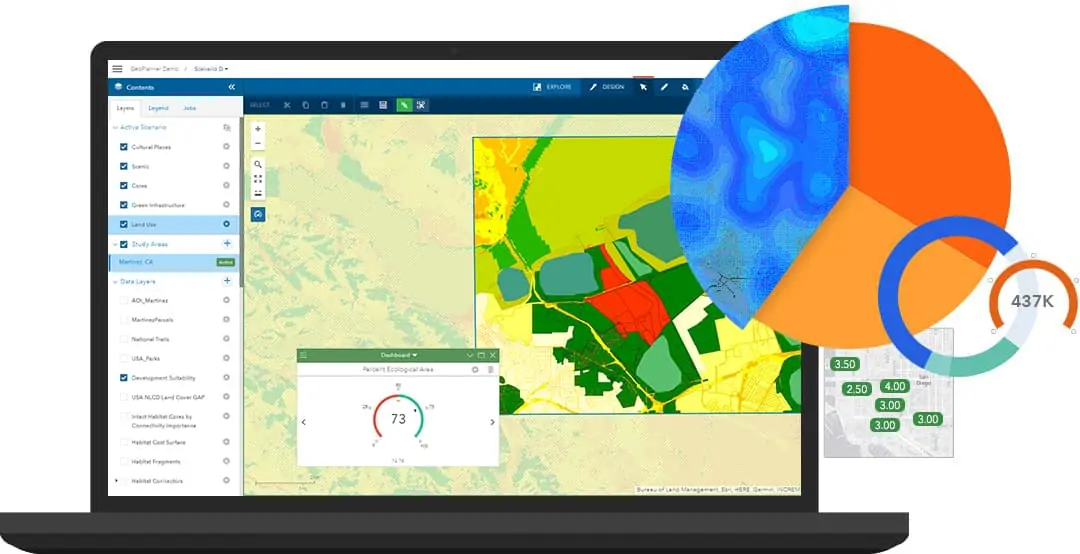
In the realm of Geographic Information Systems (GIS) development, selecting the appropriate platform is crucial for achieving optimal results. Whether you're building applications for mapping, spatial analysis, or data visualization, choosing the right GIS development platform can significantly impact the efficiency, scalability, and functionality of your solution. This article explores key factors to consider when evaluating GIS development platforms, helping you make an informed decision that aligns with your specific needs and objectives.

Using Free GPS Tools for Mapping

Sometimes we find ourselves lost while traveling. Right? But have you really tried to leverage some of the...

5 Python and R Libraries For GIS

This article looks at the best Python and R studios for GIS mapping.

Latest Posts

See latest posts