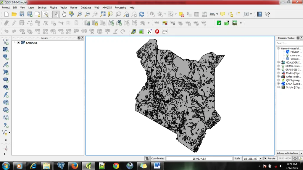
Symbols in QGIS are an essential component of spatial data visualization. This allows users to represent data in a visually appealing way.


After working 10+ years in the Geospatial sector, I can comfortably tell you this. There is a simple...

Today, geospatial technology is no longer optional. It powers logistics platforms, land management systems, climate dashboards, utility planning,...

The field of Geospatial Development is vast and diving in without the right learning order can quickly turn...

“GIS is disappearing”. Not because it’s dying or becoming irrelevant, but because it’s becoming invisible, embedded and essential....

When I first got into geospatial web app development, I thought the biggest hurdle would just be getting...

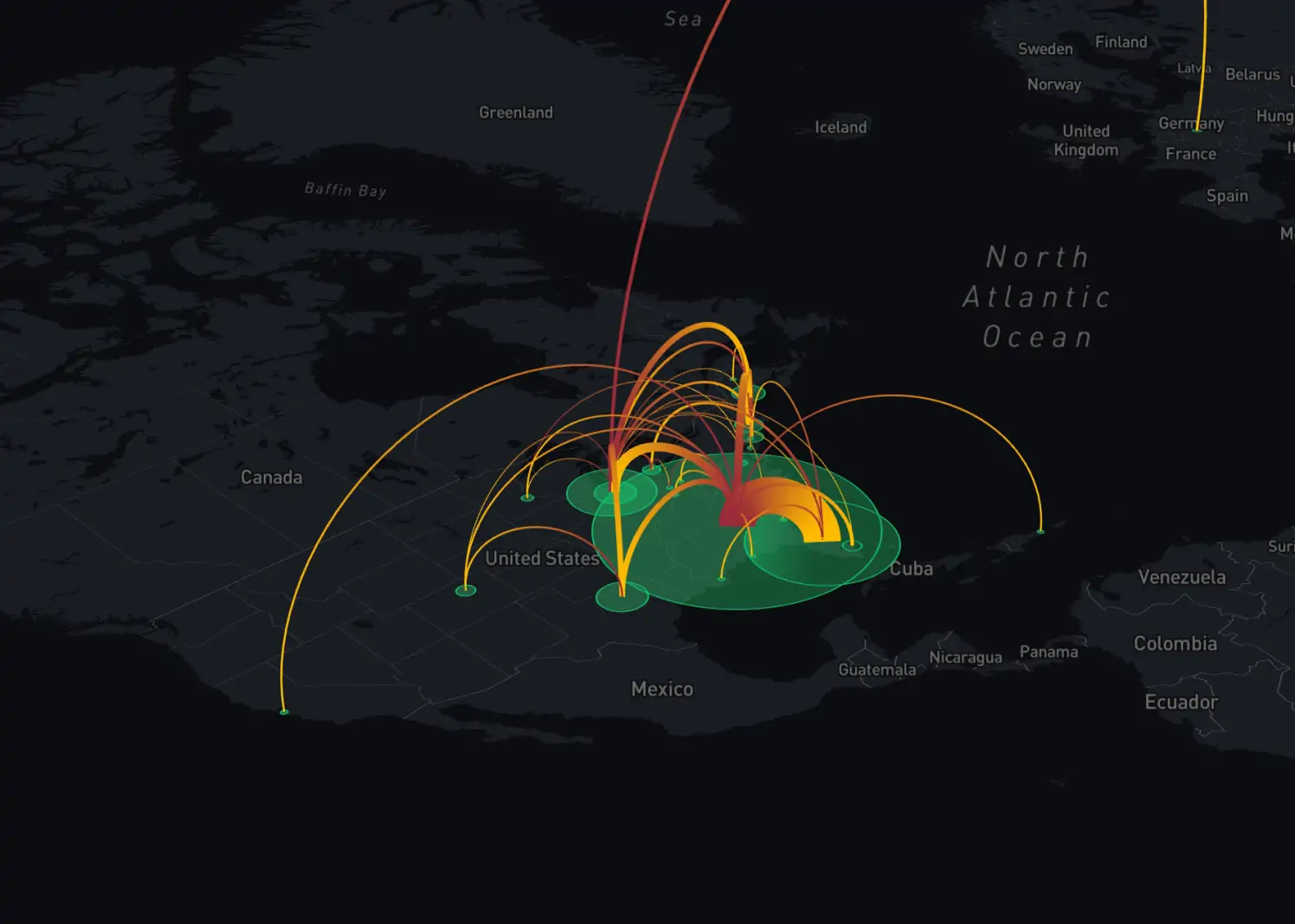
Introduction From online maps to real-time geospatial analytics, Web GIS has become an essential tool across industries like...

Over the years, my journey in the geospatial industry has been nothing short of transformative. I’ve witnessed firsthand...

Geospatial software development is a complex and multifaceted process that requires a deep understanding of spatial data, robust technical skills, and a clear focus on the end-users's needs. By following a structured approach from problem identification to deployment, developers can create powerful geospatial solutions that drive innovation and provide valuable insights across various industries.

Geospatial companies emerge as the missing link bridging traditional datasets with the spatial dimension. While traditional data analysis provides valuable insights into trends and patterns, it often lacks the crucial geographic context necessary for holistic understanding. Geospatial companies fill this gap by harnessing the power of geospatial data, which offers a unique perspective on spatial relationships, distributions, and trends

Map projections play a crucial role in cartography and geographic information systems (GIS). However, they often perplex even the most seasoned professionals in the geospatial industry. In most cases, you have to refer back to the documentation and materials to recheck an issue.

In the competitive landscape of Geographic Information Systems (GIS) careers, a strong GIS portfolio stands as the cornerstone of professional success. Your GIS portfolio not only showcases your expertise and capabilities but also serves as a powerful tool to captivate potential employers or clients.

By avoiding the 10 common GIS mistakes discussed in this article and embracing best practices and continuous learning, GIS users can harness the full power of GIS technology and drive positive change in their organizations and communities.