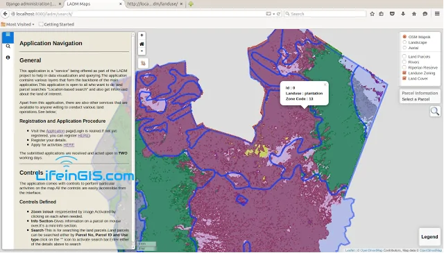
The Land Administration Domain Model (LADM) is the prevailing ISO standard on land administration and management. Through the use of this model, liaison with the NLC and other stakeholders
In this blog, we shall explore the various GIS impacts within this region in the recent past and...
GIS is very useful in analyzing the spatial relationships between features. It is important at times to find...
Well, this is a topic that I have always wanted to write about but have been a little...
For the last few weeks, I have been putting together some ideas that I gathered from different environments...
GeoServer provides us with the functionality of styling our layers to match our preferences. However, many are the...
A few weeks ago I wrote a post on Generating DEMs from Contours which was quite a...
Sometimes we find ourselves lost while traveling. Right? But have you really tried to leverage some of the...
Color blind maps are maps that are designed to be legible for people with color vision deficiencies. These...
Well, Today was a great day. A colleague asked, “Can I generate a DEM of my region using...
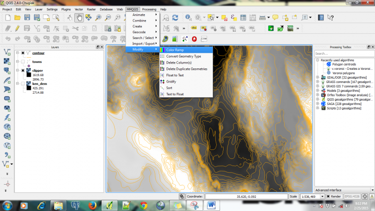
We like maps and will continue to like them more. Every day, there are changes in the libraries used for mapping. With most maps being 2D, exploring 3D maps is so much fun and better
In a GIS, the ability to handle more data formats is of key priority while developing the system....

