Explore the pivotal role of geospatial data in advancing climate change research. Uncover how GIS technology, satellite data, and spatial analysis contribute to a deeper understanding of environmental shifts. Dive into the world of climate monitoring technology and discover the impact of remote sensing in shaping sustainable solutions. Learn how geospatial solutions are revolutionizing our approach to climate challenges and driving innovation in Earth observation for climate research
Community security, world security, and disaster hazards are all developing and becoming more diversified and complicated. Climate change, population...
Are you a GIS analyst wondering how to become a GIS data scientist, but you do not know where to start? Well, you are not alone, as the geospatial industry is going through a major disruption. Here is why.
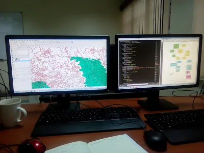
GIS is revolutionizing the way we analyze, visualize, and interpret spatial data. As we all know, some GIS concepts can be difficult to grasp at first but become common over time. In the same way, GIS development is a complex and challenging process, but it can be very rewarding.
Geospatial software development is a complex and multifaceted process that requires a deep understanding of spatial data, robust technical skills, and a clear focus on the end-users's needs. By following a structured approach from problem identification to deployment, developers can create powerful geospatial solutions that drive innovation and provide valuable insights across various industries.
Geospatial companies emerge as the missing link bridging traditional datasets with the spatial dimension. While traditional data analysis provides valuable insights into trends and patterns, it often lacks the crucial geographic context necessary for holistic understanding. Geospatial companies fill this gap by harnessing the power of geospatial data, which offers a unique perspective on spatial relationships, distributions, and trends
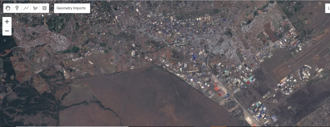
Map projections play a crucial role in cartography and geographic information systems (GIS). However, they often perplex even the most seasoned professionals in the geospatial industry. In most cases, you have to refer back to the documentation and materials to recheck an issue.
In the competitive landscape of Geographic Information Systems (GIS) careers, a strong GIS portfolio stands as the cornerstone of professional success. Your GIS portfolio not only showcases your expertise and capabilities but also serves as a powerful tool to captivate potential employers or clients.
By avoiding the 10 common GIS mistakes discussed in this article and embracing best practices and continuous learning, GIS users can harness the full power of GIS technology and drive positive change in their organizations and communities.