Categories Posted inin Tutorials Air quality monitoring using SentinelPosted byby Risper Mutinda0 Comments3 min 3 min Share Air pollution is the presence of substances suspended in the atmosphere that are considered harmful to the health... Continue Reading 3 min
Categories Posted inin GeoInformation Computing NDVI using Google Earth EnginePosted byby 0 Comments2 min 2 min Share Normalized Difference Vegetation Index (NDVI) is a spectral index used to quantify the greenness of vegetation. It is... Continue Reading 2 min
Categories Posted inin Remote SensingTutorials Unsupervised classification in GEEPosted byby 0 Comments1 min 1 min Share This blog covers unsupervised classification in the Google earth engine. Source: Google Earth Engine The process of unsupervised... Continue Reading 1 min
Categories Posted inin Tutorials Supervised classification in GEEPosted byby Wanjohi Kibui1 Comment3 min 3 min Share In this post, we will cover the use of machine learning algorithms to carry out supervised classification. Source:... Continue Reading 3 min
Categories Posted inin GISGIS News The Future of GISPosted byby Wanjohi Kibui3 Comments8 min 8 min Share A few years ago, a lot of industries didn’t apply GIS in their operations, let alone apply it... Continue Reading 8 min
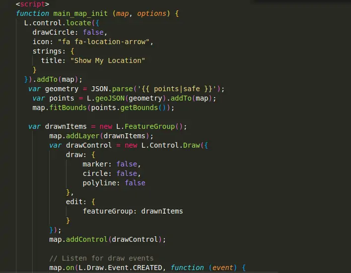
Categories Posted inin GISGIS Programming GeoDjango Tutorial GuidePosted byby Wanjohi Kibui3 Comments1 min 1 min Share Some months ago, I was requested to develop a written guide on web-mapping system development using Django as... Continue Reading 1 min
Categories Posted inin GeoInformationGIS How to tweak GeoDjango AdminPosted byby Wanjohi Kibui0 Comments2 min 2 min Share In my GeoDjango tutorial series, I shared details on the development of a web-mapping solution using GeoDjango. Depending... Continue Reading 2 min
Categories Posted inin GIS How to Grow Your GIS Development CareerPosted byby Wanjohi Kibui0 Comments5 min 5 min Share At the start of your GIS development career, you will do a lot of research. Whichever the source, format or mode of the materials you use, you end up being a library by yourself. Continue Reading 5 min
Categories Posted inin GISGIS Software Install QGIS 3.4 in Ubuntu 16.04Posted byby Wanjohi Kibui4 Comments1 min 1 min Share The month of October, 2018, ushered in the new LTR, QGIS 3.4 “Madeira”. This was a long-awaited version... Continue Reading 1 min
Categories Posted inin GeodatabaseGIS Software Adding triggers to SpatiaLite Databases in QGISPosted byby Wanjohi Kibui0 Comments2 min 2 min Share There exist various data management methods in QGIS. A data source can be a file, a directory, a... Continue Reading 2 min
Categories Posted inin GeoInformationGIS Using Photos in QGIS ProjectsPosted byby Wanjohi Kibui3 Comments3 min 3 min Share In QGIS, there are many formats of data-sets that can be used. Joins and relates help users get... Continue Reading 3 min
Categories Posted inin GeodatabaseGIS SpatiaLite Database for Community MappingPosted byby Wanjohi Kibui1 Comment3 min 3 min Share All Geospatial projects contain an element of data collection, storage and preparation. This is a vital stage in... Continue Reading 3 min