9 Essential GIS Skills

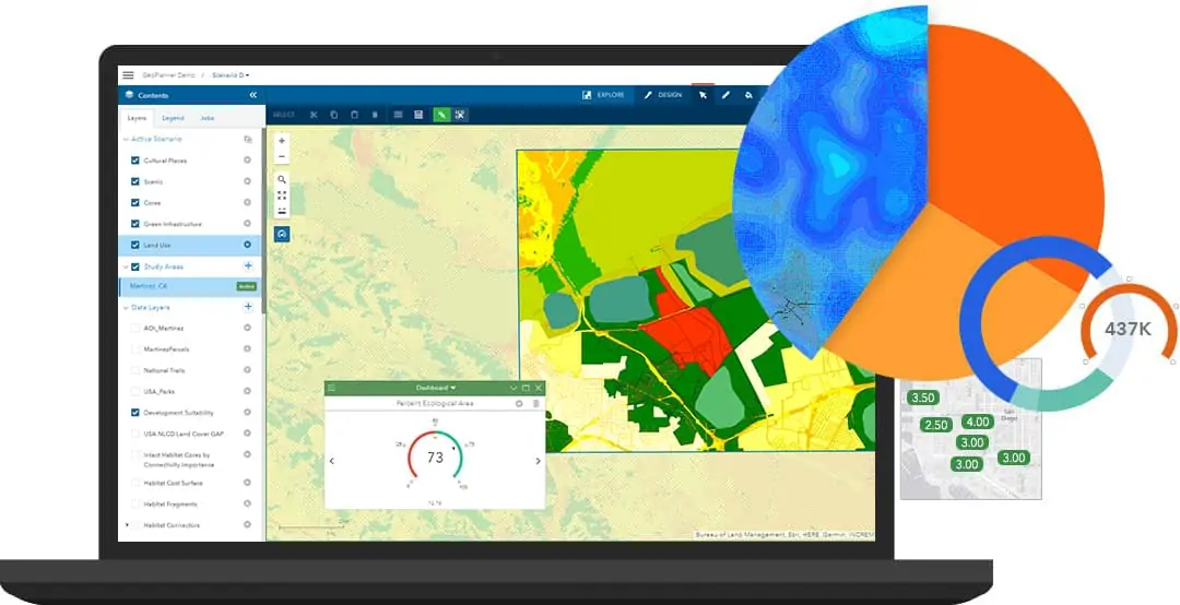
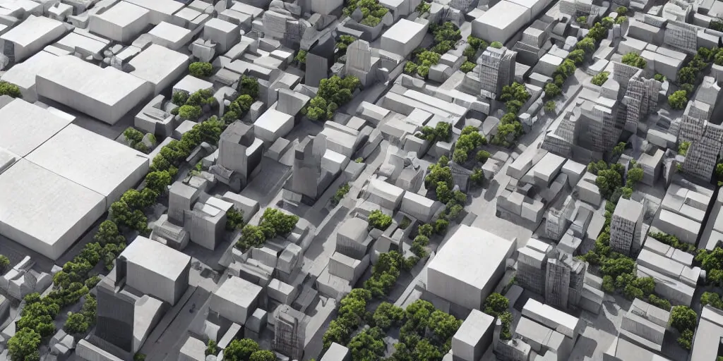
We like maps and will continue to like them more. Every day, there are changes in the libraries used for mapping. With most maps being 2D, exploring 3D maps is so much fun and better
Photos in QGIS

Using Photos in QGIS Projects

In QGIS, there are many formats of data-sets that can be used. Joins and relates help users get...
gis-project

GIS Project Ideas For Every Developer

Embarking on GIS projects offers users or college students a dynamic avenue to apply theoretical knowledge and hone practical skills. It not only allows you to apply your geospatial expertise but also contributes to solving real-world challenges.
Create a web map

Create a web map in R using Leaflet JS

Today, we will create a web map of Kenyan wards showcasing dummy electoral results. To also demonstrate a few functionalities.
gis developers

Best Advice For a GIS Developer

In most cases, a GIS developer also plays the role of a GIS analyst; analyzing spatial data from all breadths.

Computing NDBI in Google Earth Engine

What is NDBI? Normalized Difference Built-up Index (NDBI) is a spectral index used to analyze built-up areas. This...

Pan-Sharpening on Landsat 8 image in GEE

Pan-sharpening is the process of enhancing a low-resolution multiband image by fusing it with a corresponding high spatial...

Shapefile conditionals in GeoPandas & Numpy

While most shapefiles acquired from various sources are fairly ready to use with little or no edits, other...
GIS development platform

Choosing the Right GIS Development Platform for Your Needs

In the realm of Geographic Information Systems (GIS) development, selecting the appropriate platform is crucial for achieving optimal results. Whether you're building applications for mapping, spatial analysis, or data visualization, choosing the right GIS development platform can significantly impact the efficiency, scalability, and functionality of your solution. This article explores key factors to consider when evaluating GIS development platforms, helping you make an informed decision that aligns with your specific needs and objectives.
Remote sensing

Remote Sensing Applications: Built-up Assessment

It is a no-brainer why a majority of remote sensing applications are focused on land surfaces. Built-up area assessment is a key factor

Latest Posts

See latest posts