Introduction A study was carried out to investigate the use of Advanced Land Observing Satellite 2 (ALOS-2) equipped...
Ensemble methods(multiple classifier systems) Ensemble refers to using many to form one, similar to how one would gather...
In a GIS project, there are so many data formats one can use for their analysis. Depending on...
When dealing with symbology in QGIS, there are over eight(8) options one can use. The symbology utilized is...
Community security, world security, and disaster hazards are all developing and becoming more diversified and complicated. Climate change, population...
GIS companies offer a wide range of services including mapping, visualization, and analysis. We work with many datasets
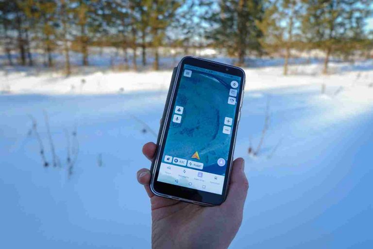
Mobile GIS technology has come a long way over the past decade, and it’s quickly transforming the data...
Major anthropogenic activities such as; deforestation and rapid urbanization have a major impact on the optimum functioning of...
The Master's in Geospatial Information Systems program is a cutting-edge degree that incorporates components of geography, geographic technology, and cross-disciplinary education in other languages and cultures. GIS universities offering Master's in Geospatial Information Science focus on advancing civilization and industry using sophisticated spatial data analytics and data science, drones, computer software, and GPS innovation
Decision-making at the national level in both developing and developed countries requires the integrated use of Geographic Information...
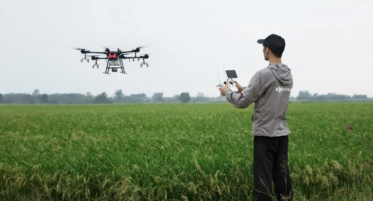
The use of Unmanned Aerial Vehicles (UAVs) in the Geospatial industry has increased dramatically in the last few...
If you are in the geospatial world or you have interacted with someone in the geospatial field, then...


