“GIS is disappearing”. Not because it’s dying or becoming irrelevant, but because it’s becoming invisible, embedded and essential.
Today, Geographic Information Systems (GIS) no longer sit on desktops or appear only as colourful layers on maps. In its many applications, GIS powers logistics, smart cities, agriculture and even your daily apps silently, efficiently and in the background.
GIS is disappearing in form but expanding in function. It’s no longer a standalone system.
Here’s what that looks like in 2025
- Precision Agriculture
In Kenya’s Rift Valley and California’s Central Valley, smart tractors now receive AI-optimised, GIS-informed instructions on the go. Farmers never open a map but their fields are mapped in centimetre detail, guiding irrigation, spraying and harvest scheduling. - Logistics & Delivery
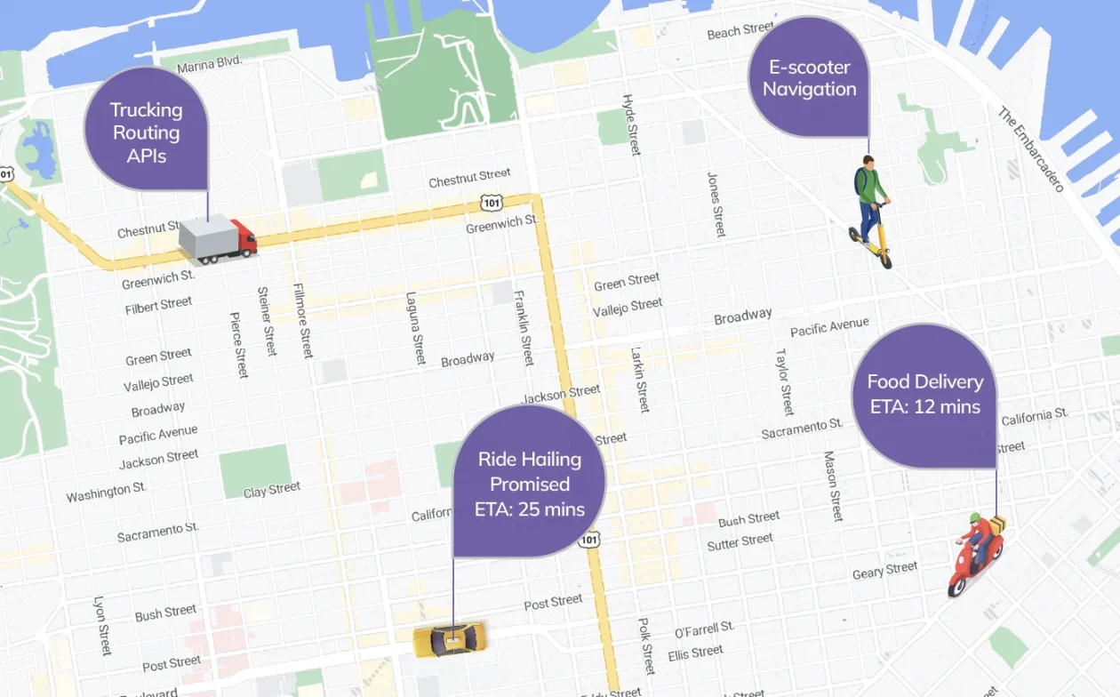
Apps like Uber, Glovo and Bolt are no longer just using maps for display. GIS is embedded into routing engines, predictive arrival algorithms and demand planning models. Your food arrives on time not because a driver looked at a map, but because location data powered every step from warehouse to doorstep. - Urban Planning & Digital Twins
Cities like Singapore, Dubai and Kigali are building digital twins, where every building, sensor and road is geospatially located. But nobody calls it “GIS” anymore. It’s just how the city runs; adaptive lighting, flood modeling and zoning compliance, all spatial, all automated. - Consumer Apps
Have you ever used Instagram’s location filters? Checked the weather on your smartwatch? Tagged your morning jog on Strava? That’s GIS, but nobody calls it that. It’s UX. It’s personalization. It’s context awareness. And it’s invisible. - AI and ML Models
Today’s large AI models, like OpenAI’s systems or Google’s Gemini, are learning spatial context just like they learn language. Satellite imagery and spatial datasets are being piped into AI without needing human GIS analysts to pre-process them. Models are learning land-use patterns, deforestation alerts and traffic behaviour directly from the raw data.

The list above comprises just a few common applications that most of us know. However, it goes beyond into different sectors and fields where GIS has become integral to the day-to-day operations.
The quiet shift no one told you about.
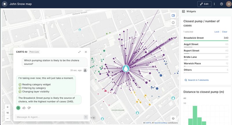
We used to open GIS platforms like ArcGIS or QGIS, click on colourful layers, drag shapes and generate insight-rich maps. GIS was visual, tangible and felt like a craft. But over the last few years, something subtle but profound has been happening: GIS has begun slipping into the background.
And that’s not a sign of decline. It’s a signal of maturity.
Much like electricity or the Internet, GIS is becoming infrastructure. This means it’s no longer something people interact with directly, but something that systems, algorithms and machines rely on silently.
If the last era of GIS was about visualizing space, the next is about automating decisions with it, invisibly.
Why this shift matters
The fact that GIS is disappearing signals one thing: GIS has matured. It’s now infrastructure, like electricity or the Internet. You don’t always see it, but your world doesn’t run without it.
In short, GIS is now:
- Ambient (always present)
- Automated (powering systems in the background)
- AI-enhanced (feeding machine learning and decision-making)
When GIS becomes embedded and invisible, several major shifts occur:
1. Power shifts away from traditional GIS roles
As GIS integrates with AI, cloud platforms and app development, many geospatial tasks are handled by developers, data scientists and automation systems.
This doesn’t mean GIS professionals are obsolete, but they need to evolve. The future belongs to those who architect geospatial systems, not just create the maps.
2. Geospatial ethics and privacy become critical
When people don’t realise GIS is being used, ethical risks increase. Location data is being collected, shared and used in ways users don’t fully understand.
Invisible GIS = invisible surveillance, if not handled responsibly.
3. Spatial literacy must be redefined
We can’t teach GIS the same way we did 10 years ago. The next generation needs to understand spatial thinking. How location influences behaviour, decisions and systems even if they never touch a GIS interface.
A change in mental models
To embrace the disappearing GIS era, we need to think differently.
First, we must stop thinking of GIS as a visual output and start thinking of it as a trigger mechanism. In today’s systems, spatial data often answers a binary question: Do these two things intersect? and the answer determines what happens next.
- A drone crossing into a no-fly zone? Abort mission.
- A wildfire polygon intersects with a power line buffer? De-energize that line.
- Does a health clinic fall outside the optimized catchment zone? Reallocate resources.
These are not map problems. They are decision problems, with spatial conditions as the logic.
And second, we need to understand that GIS is not just data. It’s a discipline of asking spatial questions. But now, those questions must be posed in code, in streaming data contexts and automated systems, not just in drag-and-drop UIs.
Final Thoughts
GIS hasn’t disappeared, it has matured.
It has gone from being a tool you open to a layer of intelligence that powers modern life.
- It’s in your apps.
- It’s in your city.
- It’s in your food systems.
- It’s even in your AI assistant.
Like electricity, you don’t always see it. You don’t always talk about it. But almost everything breaks without it.
And this creates a new kind of challenge:
How do we educate, regulate and innovate in a world where GIS is deeply embedded but rarely acknowledged?
Let me know your thoughts in the comments below.
Also, don’t forget to check out GIS insights videos on my YouTube channel.


This is a powerful perspective on the evolution of GIS. I appreciate how you frame its “disappearance” not as a loss, but as a sign of its integration and maturity. The point about redefining spatial literacy really resonated with me especially as GIS becomes more embedded in systems that people interact with unconsciously every day. Thanks for articulating this shift so clearly.
Thank you for the kind words and honest feedback. Indeed a lot is happening today in this space
Amazing article! I recommend you to check out Atlas.co. With forms, maps, dashboards, workflows/visual scripting, they serve a pretty wide basis of tools needed for the modern GIS professional.
This is a great platform. I will try it further to see what it has to offer.
Great insights, learned a lot. Thanks!