Geographic Information Systems (GIS) has many applications and benefits, but perhaps the most overlooked application among many GIS...
Map projections play a crucial role in cartography and geographic information systems (GIS). However, they often perplex even the most seasoned professionals in the geospatial industry. In most cases, you have to refer back to the documentation and materials to recheck an issue.
In the competitive landscape of Geographic Information Systems (GIS) careers, a strong GIS portfolio stands as the cornerstone of professional success. Your GIS portfolio not only showcases your expertise and capabilities but also serves as a powerful tool to captivate potential employers or clients.
By avoiding the 10 common GIS mistakes discussed in this article and embracing best practices and continuous learning, GIS users can harness the full power of GIS technology and drive positive change in their organizations and communities.
In the realm of Geographic Information Systems (GIS) development, selecting the appropriate platform is crucial for achieving optimal results. Whether you're building applications for mapping, spatial analysis, or data visualization, choosing the right GIS development platform can significantly impact the efficiency, scalability, and functionality of your solution. This article explores key factors to consider when evaluating GIS development platforms, helping you make an informed decision that aligns with your specific needs and objectives.
GeoDjango, a geographic web framework for Django, emerges as a powerful solution, seamlessly integrating spatial data types and geospatial functionalities. As developers navigate this landscape, exploring the top GeoDjango-related packages becomes paramount
At its core, Spatial Data Science is the discipline that focuses on extracting meaningful insights and patterns from data that has a geographic or spatial component. It marries the principles of traditional data science with the unique challenges and opportunities presented by spatial information
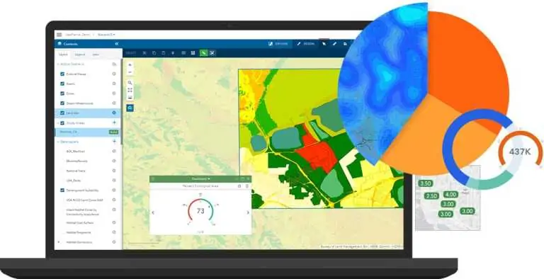
Modern GIS represent a sophisticated and dynamic evolution from traditional mapping and spatial analysis methods. In the contemporary context, Modern GIS involves utilizing geospatial data for insights. It integrates advanced technologies, such as cloud computing, real-time data processing, and web-based platforms, to provide a comprehensive and interactive approach to geospatial data management and analysis.
Explore the pivotal role of geospatial data in advancing climate change research. Uncover how GIS technology, satellite data, and spatial analysis contribute to a deeper understanding of environmental shifts. Dive into the world of climate monitoring technology and discover the impact of remote sensing in shaping sustainable solutions. Learn how geospatial solutions are revolutionizing our approach to climate challenges and driving innovation in Earth observation for climate research
As the curtains draw on another year, geospatial developers find themselves at a crossroads of reflection and anticipation. The geospatial landscape has witnessed significant transformations in 2023, prompting developers to assess their skills and prepare for the challenges and opportunities the coming year may bring
featured
Navigating the GIS Developer Journey
Embarking on a GIS developer journey is an exciting and rewarding endeavour, offering opportunities to contribute to meaningful projects and shape the future of geospatial technology. I've always been a big fan of solutions that help communities and societies. It brings out the purpose and motivation for being the solution provider.Geographic information systems (GIS) have witnessed remarkable advancements in recent years. GIS has spread across diverse industries and is transforming how we perceive and interact with the spatial world
Dive into the world of efficient GIS development with our guide on easy-to-use web mapping tools. Explore a curated list of tools that empower developers to ship web maps swiftly and seamlessly. From design principles to practical implementation, this article is your go-to resource for streamlining the web map creation process
In today's dynamic job market, GIS skills are increasingly valuable, transcending traditional limitations and finding applications in diverse fields. It is essential to master essential skills, regardless of whether you are considering a career in GIS or already have one.


