The field of Geospatial Development is vast and diving in without the right learning order can quickly turn curiosity into confusion. From mapping apps to spatial databases and geospatial AI, the possibilities seem endless.
As someone who has mentored many GIS users, I’ve learned that what you learn matters, but when you learn it, it makes all the difference. Many beginners rush straight into tools like QGIS, ArcGIS or PostGIS without first building a strong foundation.
But here’s the catch: if you try to learn everything at once or in the wrong order, you’ll get stuck.
The secret? Focus on the right GIS learning path.
This article breaks down concepts or things to learn before others in GIS, designed for beginners who want a clear roadmap into geospatial development. Each step builds on the previous one, with examples and real-world scenarios to make the journey practical and frustration-free.

1. Learn basic Geography before GIS software
Before opening QGIS or ArcGIS, you need to understand the fundamentals of geography.
- Maps, directions, scales, and coordinate grids are the building blocks.
- Without this, GIS software becomes just a confusing interface.
Scenario: A beginner digitizing land parcels in QGIS without grasping scale. The results might show “one-acre” plots that are kilometres wide. The problem isn’t QGIS; it is missing geography basics.
2. Learn English (or a common working language) before programming
Most GIS resources, documentation, tutorials, and StackOverflow answers are in English. Without it, you’ll miss solutions and updates.
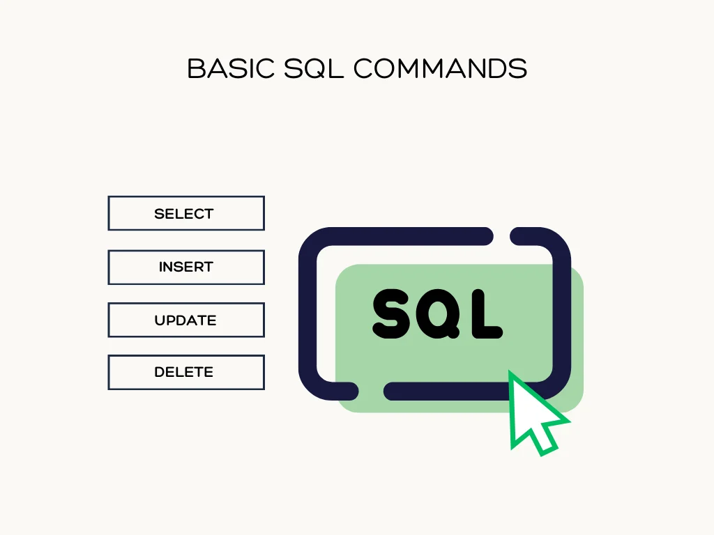
3. Learn SQL before PostGIS
Spatial databases are the backbone of modern GIS. But before you dive into PostGIS, you must master SQL.
- SQL teaches you how to filter, join and aggregate data.
- PostGIS simply extends SQL with spatial functions like
ST_WithinorST_Buffer.
4. Learn Python basics before Geospatial libraries
Python is the go-to language for GIS automation and data processing today. But don’t rush into geopandas, shapely or rasterio without understanding loops, functions and data types.
5. Learn JavaScript basics before Leaflet or Mapbox
For web GIS, JavaScript is essential. Start with DOM manipulation, JSON parsing and event handling before using Leaflet or Mapbox.
6. Learn GIS concepts before databases
Spatial operations like buffer, clip and intersect must be clear before you apply them in a database.
7. Learn file formats before APIs
Before consuming GIS APIs, understand how spatial data is stored. Common formats include:
- Shapefile (classic but limited)
- GeoJSON (great for web apps)
- KML (popular with Google Earth)
- GeoTIFF (raster data)
8. Learn manual GIS analysis before automation
Do a buffer, clip, or reprojection in QGIS manually before scripting it.
9. Learn Coordinate Reference Systems before Web Mapping
Nothing frustrates beginners more than misaligned maps. The reason? Poor knowledge of Coordinate Reference Systems (CRS).
- Learn the difference between geographic (lat/long) and projected CRS.
- Understand why Leaflet prefers EPSG:3857 (Web Mercator).
10. Learn problem-solving before tools
Tools are just means to an end. The first question should always be:
“What problem am I solving with GIS?”
11. Learn patience before everything else
GIS development is complex. Don’t rush. Build skills step by step and you’ll get much further than trying to learn everything at once.
12. Learn map ethics before publishing maps
Maps influence decisions. Learn about privacy, sensitive locations, and ethical mapping before sharing widely.
13. Learn basic version control before collaboration
Git and GitHub aren’t just for coders. They’re essential for managing projects with multiple contributors.
GIS development can feel overwhelming, especially when you see experts using tools you haven’t even heard of. However, remember that every professional started with the basics.
By learning in the right order, you’ll avoid frustration, build confidence and create a strong foundation for your geospatial career.
Follow these concepts to avoid frustration, gain clarity and build a solid foundation for advanced geospatial work, whether in databases, web mapping or spatial analytics


Things to Learn Before Others in GIS (and Why they Matter)